| Distance | Fitness | Skill | Traffic | Grade | |
|---|---|---|---|---|---|
| 40km | Easy | Easy | Low | 2 |
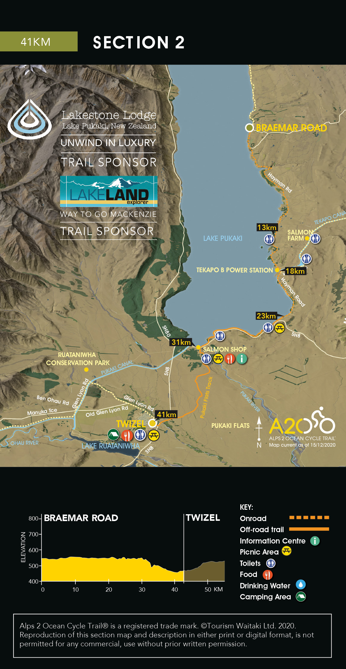
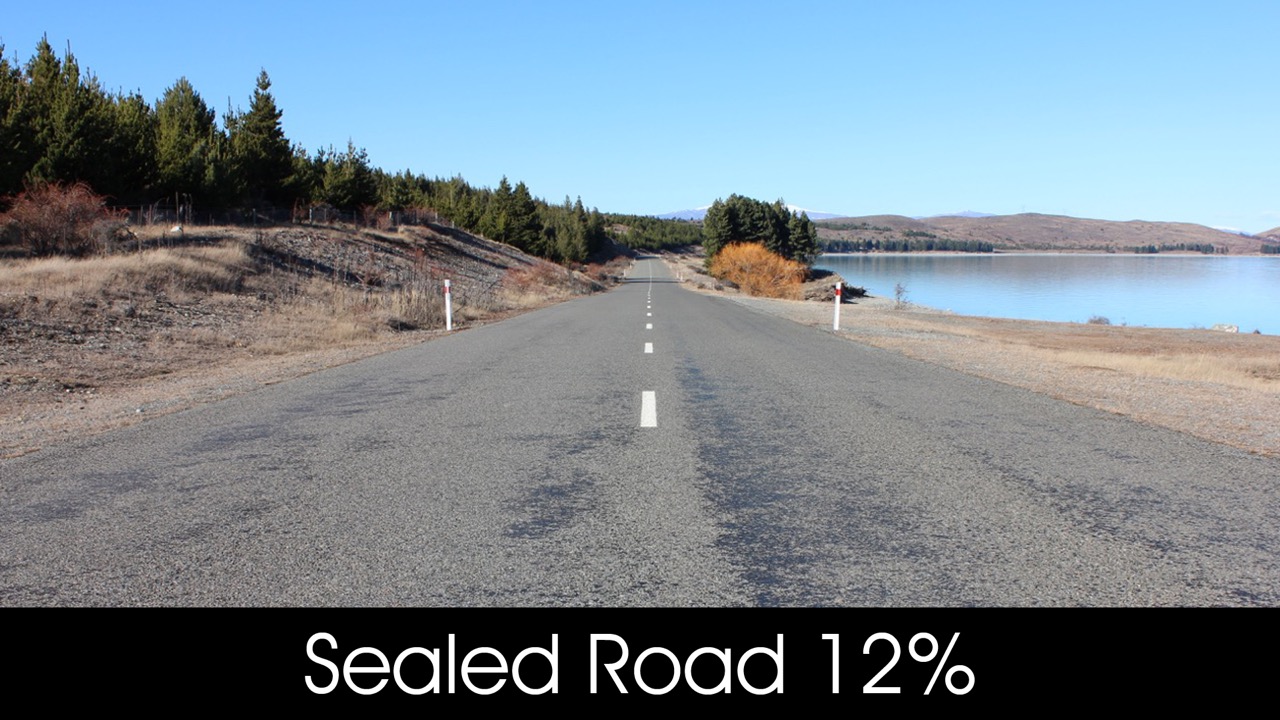
The Trail continues along Hayman Road, a quiet country road following the eastern shore of Lake Pūkaki, passing the Tekapo B power station (18km).
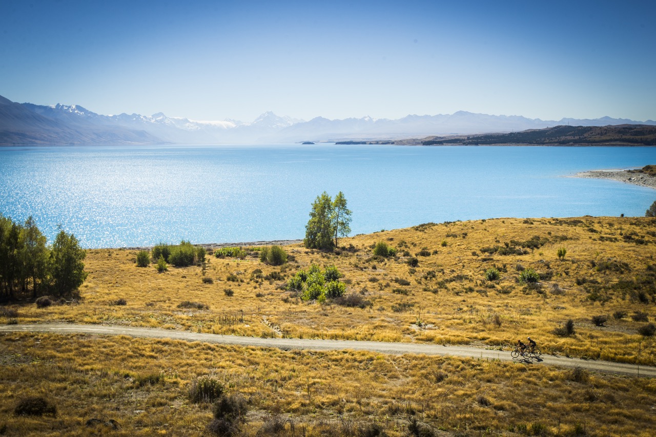
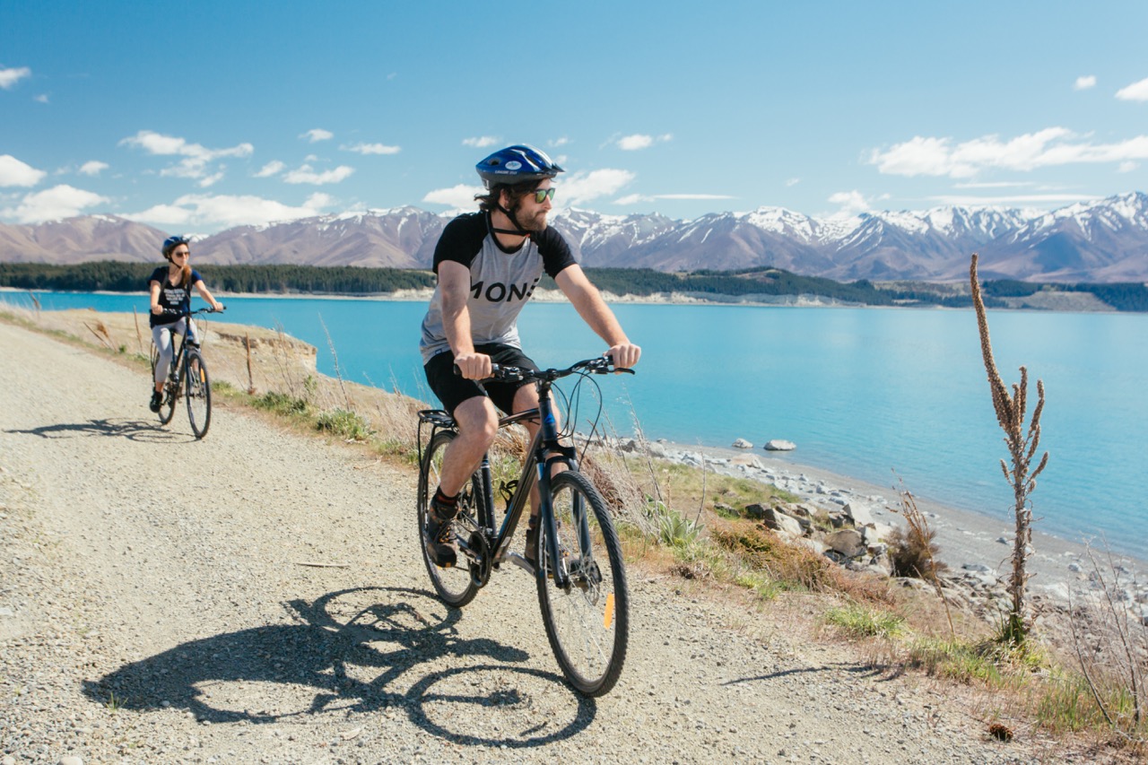
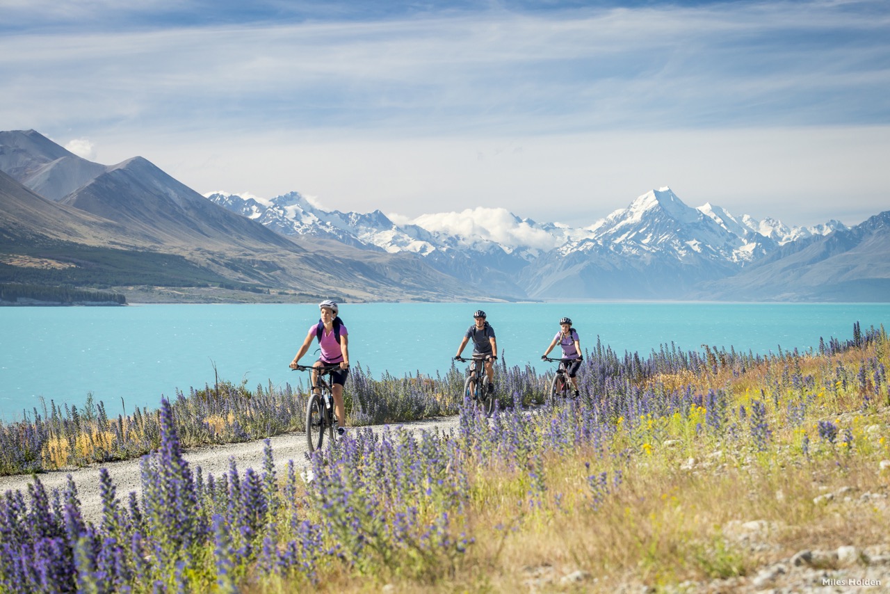
Riders will enjoy outstanding vistas across Lake Pūkaki towards the Southern Alps. A wide range of native plants grow along the lake edge including kowhai and flax, as well as exotic species such as larch and pines.
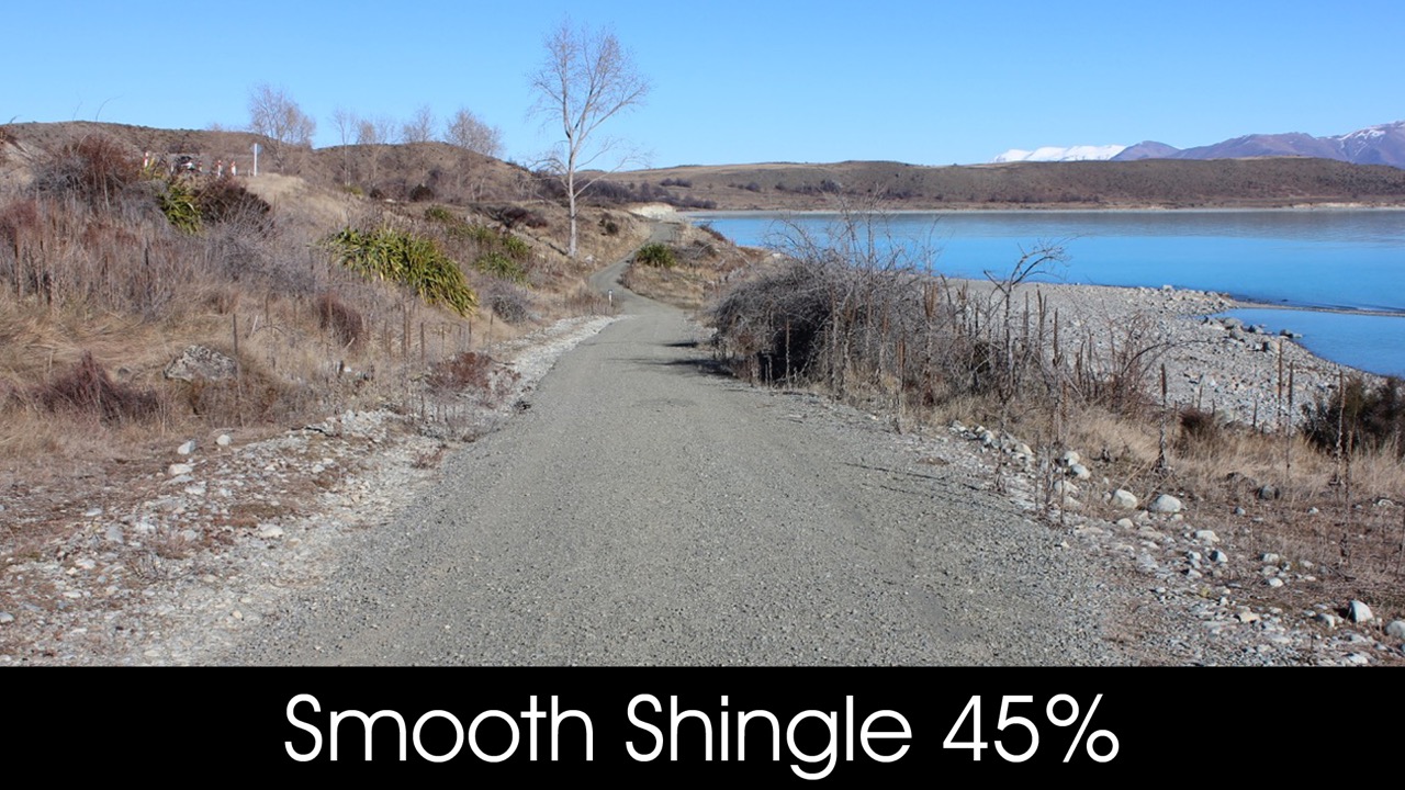
The off-road Trail starts at the bottom of Hayman Road (23km) and follows the Lake Pūkaki shoreline. With Aoraki/Mt Cook as a backdrop, the Trail passes over the Pūkaki dam, taking you to the car park at Lake Pūkaki Visitor Centre (31km).
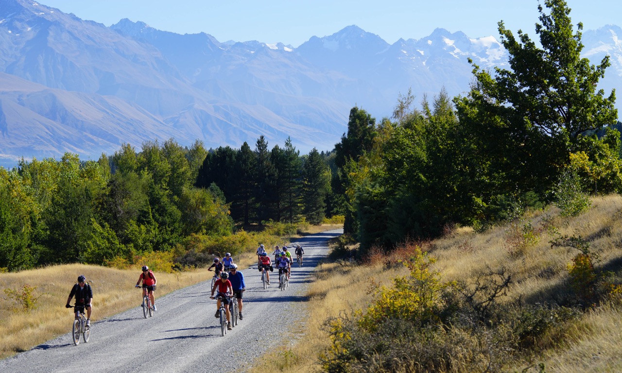
You then cross the highway and follow the Trail across Pūkaki Flats – an expansive area of dry grasslands that are characteristic of the Mackenzie landscape.
This takes you to the town of Twizel. Take care crossing State Highway 8.
|
|
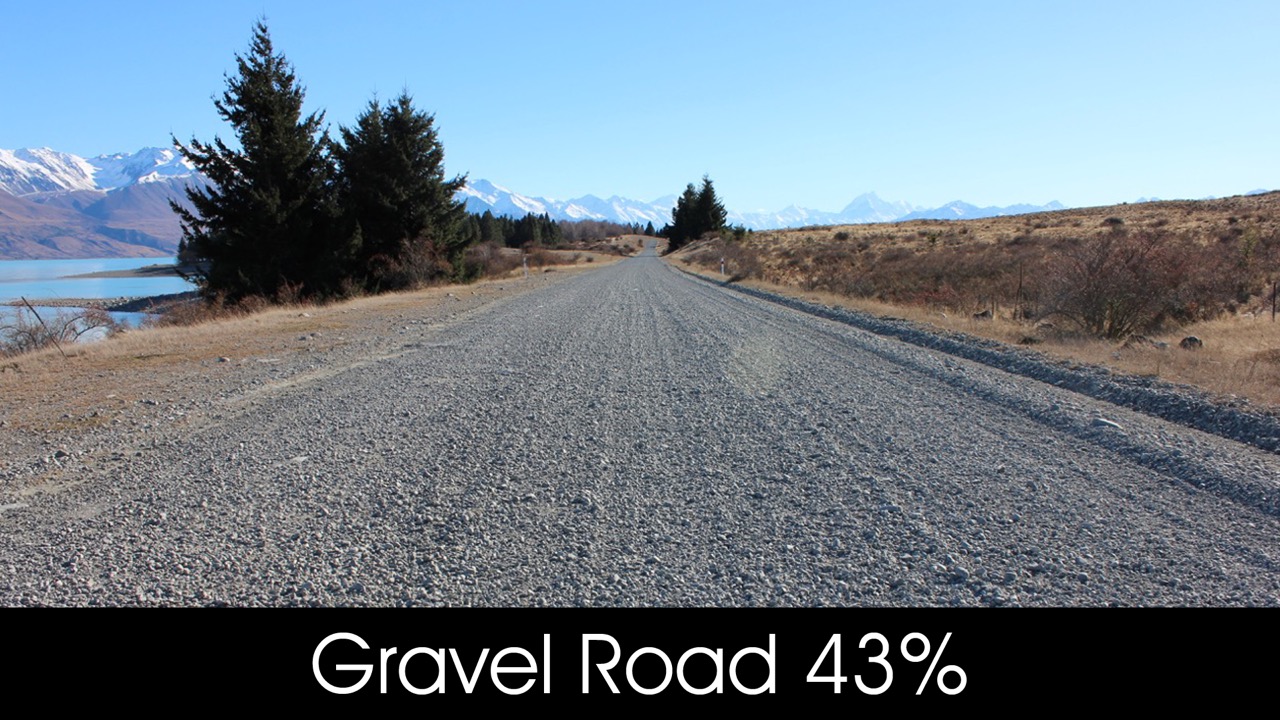
- Hayman Road - this gravel road can be corrugated and often used by logging trucks which makes it challenging to ride safely. Please keep left, ride single file and wear high vis clothing.
- High winds – this section of Trail is exposed to strong and gusty winds. Be extremely careful in exposed areas, especially crossing bridges. Consider dismounting.
- There are sections of this Trail close to cliffs and drop offs. Take care in these parts.
- Vehicles - take care and be alert for vehicles crossing the section of Trail around the south end of Lake Pūkaki.
- Overflow weir – this is signposted 2km from the Pūkaki Visitor Centre. Do not stop or camp in between the signs.


